

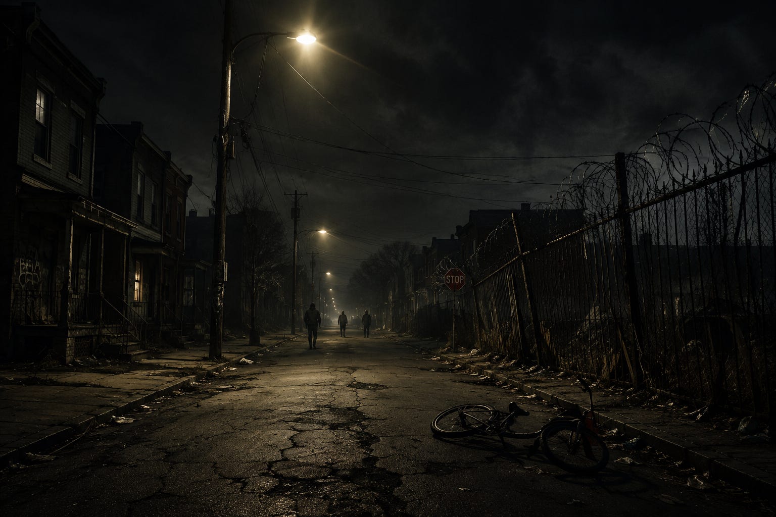
This article was created for educational purposes and I suggest you take these tips and information with a good heart because it can help you prevent an unpleasant situation!
It’s difficult to believe that a little over 100 years ago not only did people rarely if ever lock their doors in the United States many houses didn’t even have locks on the doors. In today’s world, filled with atrocious headlines and daily murders, that thought is as strange a concept as not having to pay federal taxes. Especially with regard to the large cities that dot the country side of America. The brutal crime rate and their remarkable progress in the 20th century are unparalleled around the world. The Land of the Free and the Home of the Brave has also given liberty to many destructive activities. These atrocities encompass every severe offense you can think of, from murder and attempted murder to reckless property crimes such as breaking and entering.
Are there neighborhoods in the U.S. that are too dangerous to visit?
I’ve driven through all of the 50 most dangerous neighborhoods in America, one of my many unusual travel goals, and very few were uncomfortably unsafe just driving through. I wouldn’t get out of the car and walk around though.
To answer the question, there are probably nine neighborhoods of the 70,000 across America that I personally wouldn’t recommend anyone visiting, even merely driving through, unless you’re a local or have family there.
The data from the last few years suggests that, on average, violent crime in the USA is falling. New technologies are being used to help make urban areas safer, with real-time crime maps and gun detection software. But for now, here are the most dangerous cities in the USA.
Midtown-Edmonson, Baltimore, Maryland
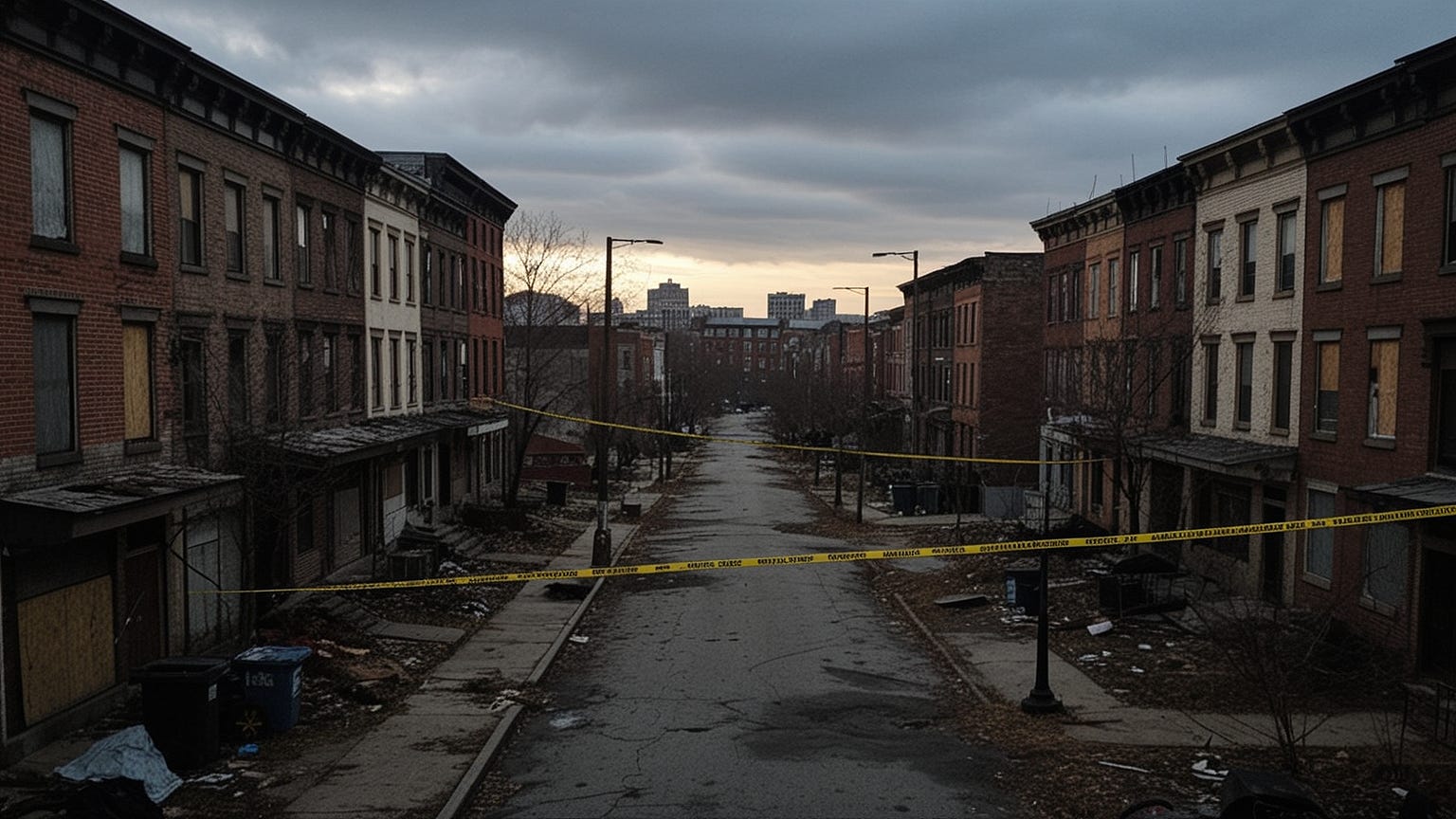
Blood dries quickly on Baltimore asphalt. By noon, most evidence of the previous night’s carnage has already been hosed away by city workers or simply baked into the cracks by the merciless sun. But the ghosts remain. They linger in the boarded-up row houses that line Edmondson Avenue like rotten teeth, in the hollow stares of corner boys who’ve seen too much before age twenty, in the suffocating silence that descends when gunshots finally stop echoing between brick walls.
I found myself bleeding into this neighborhood during a wrong turn in March 2024. My GPS, that traitorous piece of plastic and algorithms, decided that the most “efficient” route to my downtown hotel required cutting through what locals simply call “The Mid.” Within three blocks, I understood why ambulance drivers request police escorts before entering. Within six blocks, I understood why even police hesitate.
⚠️MUST WATCH: EXPERT WARNS — Could 90% of the U.S. Population Die if a Pulse Event Hits the Power Grid?
Current statistics from 2026 paint a portrait of devastation that would make war correspondents flinch. Midtown-Edmonson boasts an 8.9% annual victimization rate for violent crime. Let that number sink into your bones like winter cold. One in eleven residents. Not strangers passing through—residents. People who know the rules, know the corners, know which footsteps to avoid after dark. If they face these odds with full institutional knowledge, what chance does your lost tourist ass stand?
The geography here conspires against survival. Sandwiched between the affluent Roland Park and the gentrifying Hampden, Midtown-Edmonson represents what urban decay specialists term a “pressure zone”—where economic forces crush the vulnerable between moving tectonic plates of wealth. Heroin arrived here in the 1960s and never left. Fentanyl joined the party in 2015 and turned the neighborhood into an open-air morgue. By 2026, overdose deaths outnumber homicides three to one, though both statistics compete for supremacy like rival sports teams.
I witnessed a transaction from my car window. Not subtle. Not hidden. Two men exchanging small packages for crumpled bills in broad daylight on a street corner beneath a “Neighborhood Watch” sign that had been shot through the center. The bullet hole transformed the sign’s eye graphic into a winking mockery. Nobody called the police. Nobody would. The 911 response time in this zip code averages twenty-three minutes—when they come at all.
Violence here follows patterns invisible to outsiders but written in genetic memory for those raised within these blocks. Drug turf wars have carved the neighborhood into fiefdoms where crossing the wrong street can constitute a fatal error. The Baltimore Police Department’s 2026 crime heat map shows Midtown-Edmonson glowing crimson—a hemorrhage of assaults, armed robberies, and homicides concentrated in a space barely covering two square miles.
Median household income hovers around $19,400 annually. School funding has evaporated. The life expectancy gap between here and Roland Park, just three miles north, exceeds twelve years. Twelve years of existence, stolen by zip code alone.
If your navigation system betrays you into these streets, do not stop. Red lights become optional when survival demands it. Windows remain sealed. Eyes forward. The 8.9% statistic doesn’t capture the auxiliary damage—the carjackings, the home invasions, the sexual assaults that push total crime exposure past 31% for anyone unfortunate enough to spend significant time here. Your curiosity isn’t worth your blood. Remember that.
Devington, Indianapolis, Indiana
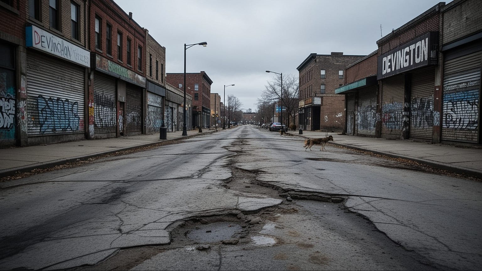
Indianapolis hides its rot well. From the gleaming Lucas Oil Stadium downtown, from the manicured suburbs of Carmel and Fishers, the city projects an image of Midwestern wholesomeness that would make Norman Rockwell weep with envy. But drive seventeen minutes east. Watch the transformation. Watch civilization unravel like a cheap sweater snagged on barbed wire.
Devington waits there. Patient. Hungry.
My first encounter came during research for a documentary project in 2024. I had requested meetings with community organizers, with clergy, with anyone willing to discuss the “forgotten Indianapolis.” A pastor named Marcus agreed to meet me at his church on Devington Road, provided I arrived before 4 PM and parked directly in front of the building. “Don’t explore,” he warned via text. “Don’t look curious. Just get inside.”
I arrived at 3:45. By 3:50, I understood his urgency.
Current data from 2026 assigns Devington an 8.7% violent crime victimization rate—nearly matching Baltimore’s nightmare. But the qualitative difference here is what haunts my sleep. Baltimore’s violence often carries economic logic: drug disputes, territory, money. Devington’s violence frequently arrives without preamble, without purpose, without the cold comfort of rational motivation. Psychologists studying the area have documented what they term “ambient aggression”—a baseline hostility so ingrained in the environment that violence erupts from minor provocations: a glance held too long, a car model perceived as too expensive, a stranger’s presence interpreted as disrespect.
The neighborhood’s skeleton tells its story. Manufacturing plants that employed thousands through the 1980s now stand as rusted cathedrals of abandonment. The massive Navistar plant closure in 2009—eliminating 1,400 jobs in a single afternoon—initiated a death spiral that 2026’s economy has failed to reverse. Unemployment among working-age males exceeds 29%. Among young men aged 18-30, that figure balloons to 41%. When legitimate commerce dies, underground economies flourish in the corpse.
I interviewed a former autoworker, sixty-three years old, living in the same house he purchased in 1987 when Devington represented working-class stability. He showed me his bulletproof vest. Not metaphorical—actual Kevlar purchased online after his living room window absorbed three rounds during a drive-by intended for his neighbor’s grandson. “I used to make $28 an hour building trucks,” he told me, his voice cracking like dry earth. “Now I wear armor to watch television.”
The housing stock here has deteriorated beyond salvation. City inspectors condemned 340 structures in 2025 alone. Yet residents remain, trapped by underwater mortgages, by poverty, by the simple absence of alternatives. Block after block of sagging porches, peeling lead paint, roofs patched with blue tarps that have themselves rotted through. Nature reclaims what human will has surrendered—knotweed bursting through foundations, trees growing from abandoned cars, wildlife returning to streets where children no longer play.
Police presence operates on a triage model. Officers respond only to violent crimes in progress. Property crimes, theft, vandalism—these disappear into a bureaucratic void where reports are filed and immediately forgotten. The Indianapolis Metropolitan Police Department’s 2026 staffing analysis reveals Devington receives patrol coverage at 34% of recommended levels. Officers describe the area as “hostile territory” in internal communications.
Drive-through here demands specific protocols. Stay on main arteries—Michigan Road, 38th Street—avoiding residential side streets where ambushes occur with mechanical regularity. Keep windows up, doors locked, music off. The 8.7% violent crime rate compounds with property crime exposure exceeding 44%, creating an environment where simply existing within these boundaries constitutes a gamble with survival.
Your GPS knows nothing of this. Your GPS sees only roads.
Broadway East, Baltimore, Maryland
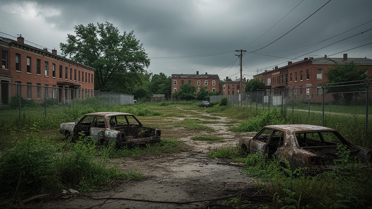
Baltimore’s second appearance on this list isn’t coincidence—it’s confession. Broadway East represents the city’s open wound, the place where decades of policy failures, economic abandonment, and social collapse have fermented into something toxic and self-perpetuating. The 8.4% violent crime victimization rate documented in 2026 fails to capture the full horror because so much violence here goes unreported, undocumented, absorbed into the neighborhood’s fabric like rain into parched soil.
I spent three days embedded with a harm reduction team in Broadway East during the summer of 2024. What I witnessed transformed my understanding of urban decay. This wasn’t merely poverty. This was civilization’s fraying edge, where the social contract had dissolved entirely and been replaced by something older, more primal.
The physical environment assaults the senses. Blocks where every third structure has burned and been left to molder. Blocks where feral cats outnumber children, where vegetation chokes abandoned lots, where the smell of decay—organic and structural—permeates everything. My photographer colleague vomited on our first morning. The combination of open sewage, rotting garbage, and chemical fumes from illicit drug processing proved too much for her urban sensibilities. She didn’t return for day two.
Broadway East sits adjacent to Johns Hopkins Hospital, one of the world’s premier medical institutions. The juxtaposition isn’t ironic—it’s obscene. Patients discharged from Hopkins’ trauma center sometimes walk directly into this neighborhood, still bleeding, still vulnerable, easy prey for those who haunt the hospital’s periphery like sharks scenting blood. Security guards warn discharged patients against walking north. The warnings go unheeded. The resulting robberies, assaults, and occasional homicides barely register in city statistics—they’re categorized as “post-discharge incidents” rather than hospital-adjacent crimes.
The drug economy here has evolved beyond simple corner dealing. Broadway East serves as a regional distribution hub, with supply chains extending to Philadelphia, Washington DC, and Richmond. This isn’t street-level desperation—it’s organized commerce protected by violence as systematic as any corporate security protocol. Territorial disputes resolve through gunfire. Disputes over quality resolve through gunfire. Perceived disrespect resolves through gunfire. The pattern becomes monotonous in its brutality.
I attended a community meeting in a church basement that had been shot up three times in the preceding month. Bullet holes in the stained glass created strange patterns—Jesus with additional stigmata, angels perforated. Residents spoke of sons lost, of daughters addicted, of grandchildren they would raise because parents had disappeared into the prison system or the cemetery. A woman named Dolores described finding her seventeen-year-old nephew’s body in the alley behind her home. “He was still warm,” she said, her voice flat as Kansas. “I sat with him until the police came. Two hours. Nobody else came out to help.”
The police response time here averages thirty-one minutes. Emergency medical services refuse entry without police escort. Fire department responses to structure fires often find themselves watching buildings burn while waiting for security clearance. Essential services have effectively abandoned Broadway East, leaving residents to manage survival through informal networks, through church connections, through sheer stubborn will.
Driving through requires the now-familiar protocols: windows sealed, doors locked, movement constant. The 8.4% violent crime rate combines with property crime rates exceeding 52% to create an environment where nothing—vehicle, person, dwelling—remains secure for long. Your presence registers as intrusion. Your vehicle registers as opportunity. Your hesitation registers as weakness.
Three wrong turns. That’s all it takes. Three wrong turns between the Inner Harbor’s tourist-friendly facade and Broadway East’s reality. Your navigation system won’t warn you. The transition offers no signage, no border markers. One moment you’re passing craft breweries and artisanal coffee shops. The next, you’re bleeding into territory where survival demands knowledge you don’t possess.
Lakeview Heights, Tulsa, Oklahoma
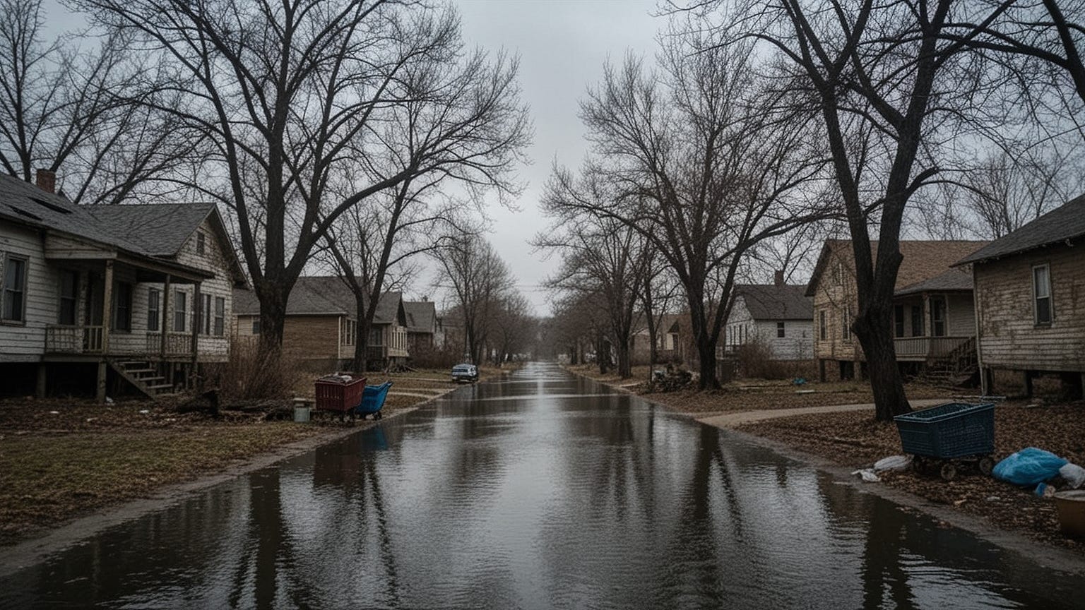
Oklahoma hides its darkness behind sunsets. The state’s carefully cultivated image—friendly, hardworking, fundamentally decent—crumbles when you reach Lakeview Heights. Here, on the north side of Tulsa, the American dream curdled into something poisonous decades ago, and 2026 finds the neighborhood still drinking the spoiled milk.
My introduction to Lakeview Heights came through a housing advocate named Sarah who had spent fourteen years trying to secure basic services for residents. She warned me before our visit: “Don’t wear blue. Don’t wear red. Don’t wear anything that could be interpreted as gang affiliation, which basically means don’t wear colors at all.” I arrived in grey. Everything I owned that day was grey.
The 8.1% violent crime victimization rate places Lakeview Heights fourth on this list, but the number feels abstract until you understand the population density. We’re talking about barely 1,200 residents in a space that once held 8,000. The violence concentrates. It distills. Every interaction carries weight because there are so few interactions total—every encounter becomes significant, loaded with potential threat.
Tulsa’s racial history poisons everything here. Lakeview Heights sits near the historic Greenwood District, site of the 1921 Tulsa Race Massacre that destroyed Black Wall Street. That trauma didn’t dissipate—it mutated, transformed into generational poverty, into systemic neglect, into the concentrated desperation that produces violence as surely as chemistry produces reactions. The neighborhood’s demographics—92% African American, median income $16,800—reflect patterns of segregation and abandonment that city planners drew in ink decades ago and society has maintained through neglect ever since.
Physical infrastructure here has surrendered. Water mains burst annually, flooding streets and homes. The city patches rather than replaces. Electrical grids fail during summer heat waves, leaving elderly residents without air conditioning in 105-degree Oklahoma summers. The resulting mortality—heat stroke, cardiac events—doesn’t appear in crime statistics but belongs in any honest accounting of violence against residents.
I witnessed a domestic dispute escalate into a street confrontation during my second day. A man and woman screaming at each other on a porch attracted an audience of neighbors who watched with the resigned expressions of those who’ve seen this performance before. When the man produced a handgun, the audience dispersed—not running, just walking away with the deliberate pace of those who know that sudden movements attract bullets. The gun wasn’t fired. This time. The police never arrived. Sarah explained they wouldn’t. “Unless someone’s actually shot, they don’t come. Even then, sometimes they don’t come.”
The drug trade here specializes in methamphetamine—Oklahoma’s signature contribution to American pharmacological devastation. Unlike opioid crises elsewhere, meth produces different behavioral patterns: paranoia, aggression, violence without the sedated calm of heroin. Meth users in Lakeview Heights have been known to attack strangers without provocation, driven by delusions and chemical psychosis. The 8.1% violent crime rate includes these unpredictable assaults, these moments when human reason dissolves entirely and only animal panic remains.
Driving through Lakeview Heights presents unique challenges because street signage has largely disappeared—stolen for scrap metal, shot for target practice, or simply rotted away. Navigation becomes guesswork. Wrong turns multiply. Each wrong turn extends exposure, increases risk, amplifies the statistical probability that you will become one of 2026’s victims. The neighborhood’s geography—winding residential streets, dead ends, limited exit routes—traps the unwary like a spider’s web.
Stay on Peoria Avenue. Do not deviate. Do not explore. The 8.1% violent victimization rate, combined with property crime exposure exceeding 38%, creates an environment where mercy is extinct and survival is not guaranteed.
Oak Park Northwest, Kansas City, Missouri
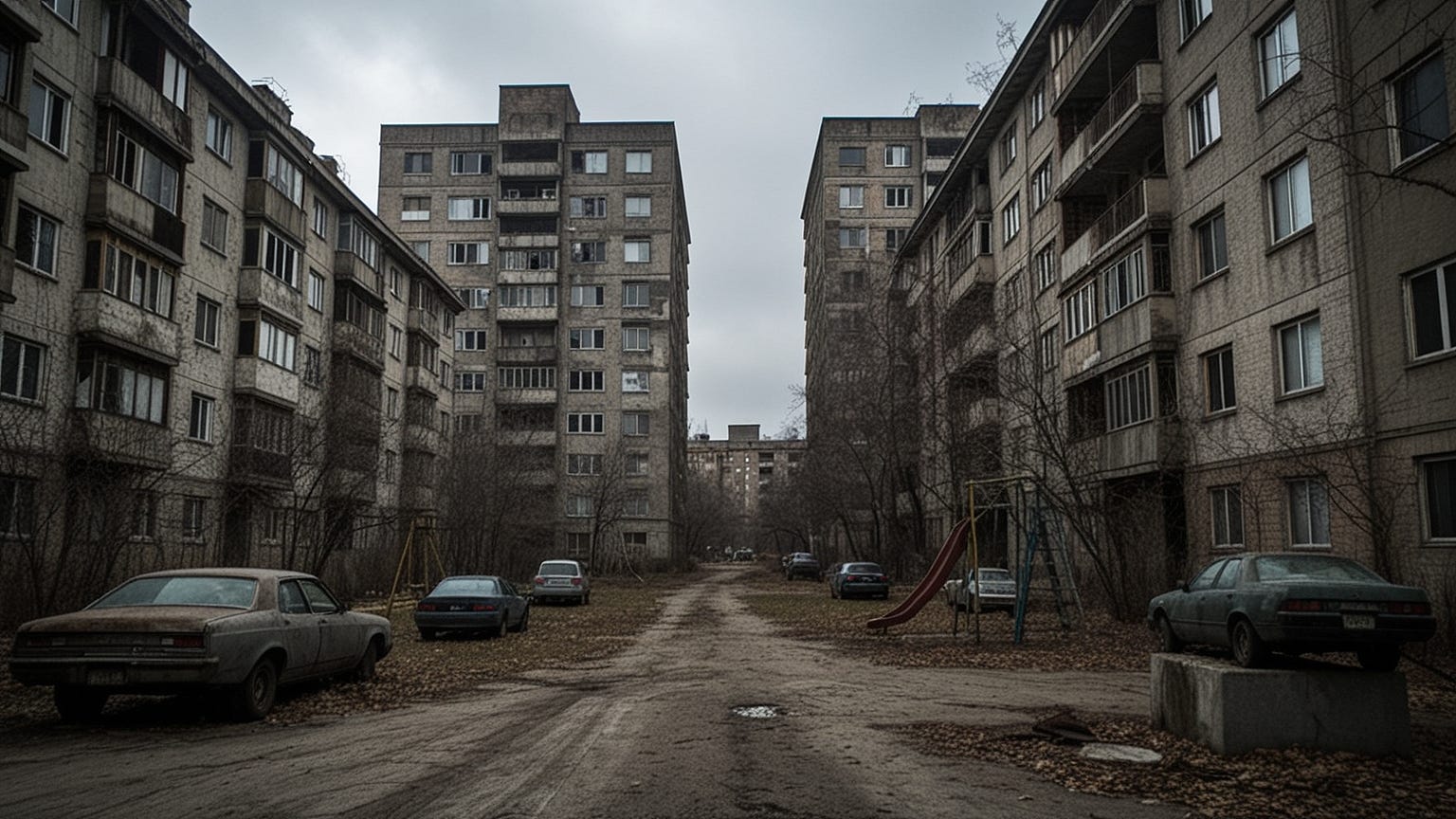
Kansas City straddles state lines, bisected by the Missouri River into Kansas and Missouri halves, each with its own personality, its own sins, its own forgotten neighborhoods where hope goes to die. Oak Park Northwest sits on the Missouri side, a concrete island of public housing and private desperation that 2026 data identifies as having an 8.3% violent crime victimization rate—though local residents argue the real figure is higher, much higher, hidden beneath layers of unreported incidents and police indifference.
I arrived in Oak Park Northwest during a January ice storm, the kind of weather that turns Midwestern cities into glass sculptures and makes survival a full-time occupation for those without reliable heat. The neighborhood’s housing stock—towering apartment complexes built in the 1960s under federal urban renewal programs—has deteriorated into vertical slums. Elevators that haven’t functioned in years. Hallways that smell of urine and smoke and despair. Windows that rattle in their frames, unable to keep out the cold or the violence that seeps through like a draft.
My contact here was a former social worker named Angela who had burned out after eleven months of service. She agreed to drive me through the neighborhood provided we used her vehicle—an old Crown Victoria with tinted windows that she described as “neutral territory.” The car’s previous owner, she mentioned casually, had been shot in the driver’s seat. She had cleaned the blood herself before purchase. The stain remained, invisible but present, beneath the floor mats.
Oak Park Northwest’s violence carries a different flavor than the drug turf wars of Baltimore or the ambient aggression of Indianapolis. Here, violence is intimate, domestic, familial. The 2026 Kansas City Police Department statistics show that 67% of violent incidents in this neighborhood occur between people who know each other—family members, romantic partners, friends who have turned. The claustrophobia of high-density housing, the stress of poverty, the absence of private space where conflicts can cool: these factors combine to create pressure cooker environments where minor disputes escalate to homicide with terrifying speed.
Angela pointed out specific buildings as we drove. “That one—Tower Three—had four murders last year. All domestic.” “That one—Garden View—rapes happen in the stairwells. Nobody uses the stairs alone.” “That parking structure—carjackings every week. They wait for people coming home with groceries.”
The neighborhood’s isolation compounds its danger. Surrounded by industrial zones and interstate highways, Oak Park Northwest exists in a bubble of poverty cut off from the city’s economic arteries. Residents without vehicles—approximately 60% of the population—are trapped. Jobs exist in the suburbs, in downtown, in places unreachable by public transit that stops running at 8 PM. The resulting desperation—economic, social, psychological—feeds the violence that makes this neighborhood a statistical outlier even within Kansas City’s crime landscape.
Police presence here is heavy but ineffective. Officers patrol in pairs, never alone, treating the neighborhood as occupied territory rather than community. The relationship between residents and law enforcement has deteriorated beyond repair—mutual suspicion, mutual fear, mutual recognition that the current system serves no one. When violence occurs, witnesses refuse to cooperate. Cases go unsolved. Killers walk free. The cycle perpetuates itself.
Driving through Oak Park Northwest demands vigilance. The neighborhood’s layout—cul-de-sacs, limited access points, confusing street patterns—makes escape difficult if confrontation occurs. Stay on main thoroughfares. Avoid the parking structures. Avoid the stairwells. Avoid eye contact with groups gathered in lobbies or on balconies. The 8.3% violent victimization rate, combined with property crime rates exceeding 47%, means that in this neighborhood, you are always a target. The only variable is whether someone chooses to act on the opportunity you represent.
Easterwood, Baltimore, Maryland
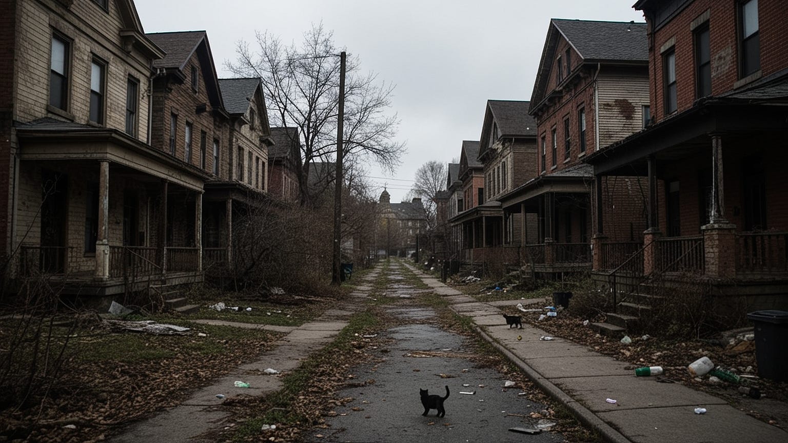
Baltimore claims three of the nine entries on this list, a distinction that should shame the city’s leadership but instead merely confirms what residents already know: certain zip codes have been abandoned to fate, left to rot while resources flow elsewhere. Easterwood sits in the city’s western reaches, a neighborhood so thoroughly forgotten that even many Baltimore natives struggle to place it on a map. This invisibility makes it dangerous. This invisibility means that when you stumble into its boundaries, no one will come looking.
I found Easterwood through research into the city’s overdose epidemic, which killed 1,089 Baltimore residents in 2025 alone—a record that 2026 is on track to surpass. The neighborhood’s 7.9% violent crime victimization rate barely captures the full spectrum of death here, where violence and overdose intertwine in a dance of mutual amplification. Drug dealers kill competitors. Addicts kill for money to buy drugs. Desperate people kill themselves slowly with substances that offer temporary escape from permanent pain.
The physical landscape of Easterwood defies easy description. It’s not quite urban, not quite suburban, existing in a liminal zone of row houses giving way to vacant lots giving way to industrial ruins. The neighborhood was built to house workers from the nearby rail yards and manufacturing plants that closed in the 1970s and 1980s. The jobs left. The workers stayed. Their children stayed. Their grandchildren now navigate an economy where legitimate employment is a rumor and survival is a daily improvisation.
I spent a week with a harm reduction organization that distributes naloxone and clean needles in Easterwood’s streets. The work is Sisyphean—every life saved from overdose faces the immediate risk of violence, of infection, of the slow-motion suicide that poverty inflicts on bodies and minds. The organization’s director, a former nurse named Patricia, described Easterwood as “post-apocalyptic.” Not metaphorically. Literally. She pointed out the infrastructure failures that make the neighborhood resemble something from a disaster film: collapsed sewer lines that flood basements with raw sewage, electrical fires from ancient wiring, buildings that sway in high winds because their foundations have crumbled.
The violence in Easterwood follows no discernible pattern, which makes it uniquely terrifying. In other neighborhoods, you can learn the rules: don’t cross certain streets, don’t acknowledge certain people, don’t flash wealth or weakness. In Easterwood, violence arrives randomly, carried by methamphetamine psychosis, by untreated mental illness, by the simple nihilism of people who have seen too much death to value life. The 2026 Baltimore Police data shows that 41% of violent crimes here are classified as “random/unknown motive”—stranger attacks without economic or territorial purpose, violence for violence’s sake.
Patricia’s organization has lost three volunteers to violence in the past two years. One was robbed at gunpoint while distributing supplies; when she handed over the organization’s cash box, the robber shot her anyway. The bullet severed her spine. She now uses a wheelchair and still volunteers, still distributes naloxone, still enters the neighborhood that crippled her. “What else would I do?” she asked when I expressed amazement. “These are my people. This is my home.”
Driving through Easterwood requires the same protocols as the other Baltimore neighborhoods: speed, vigilance, locked doors, sealed windows. But here, the additional factor is disorientation. Street signs are missing or wrong. GPS signals bounce strangely between the industrial ruins and remaining structures. It’s easy to get lost, to circle the same devastated blocks while darkness falls and the statistical probability of victimization ticks upward with each passing minute. The 7.9% violent crime rate, combined with property crime exposure exceeding 43%, creates an environment where mercy is extinct and survival is not guaranteed.
If you must pass through, do so during daylight. Do so quickly. Do not stop for any reason—not for directions, not for apparent distress, not for anything. In Easterwood, your compassion will be weaponized against you. Your hesitation will be exploited. Your presence, however temporary, marks you as prey.
North Indianapolis, Indianapolis, Indiana
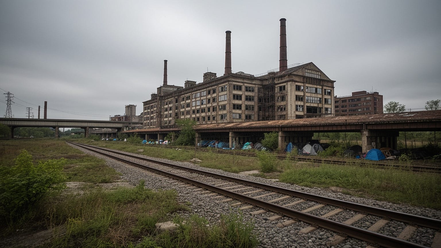
Indianapolis appears twice on this list, a distinction that belies the city’s carefully maintained image as a wholesome Midwestern capital. North Indianapolis sits separate from Devington, across the city’s sprawling downtown, in a zone where industrial decay meets residential desperation to produce something uniquely toxic. The 7.8% violent crime victimization rate documented in 2026 represents a slight improvement from 2024’s peak, but improvement in this context is relative—like noting that a terminal patient has stabilized before the inevitable decline.
I came to North Indianapolis through research into the city’s manufacturing collapse, tracking the human consequences of economic decisions made in boardrooms decades ago. The neighborhood was built to house workers from the massive factories that once lined the White River—automotive plants, steel mills, packaging facilities that employed tens of thousands at wages that could support families, homes, futures. Those factories closed in waves: first the automation of the 1980s, then the offshoring of the 1990s, finally the financial crisis of 2008 that killed what remained.
The neighborhood’s physical structure reflects this history. Massive industrial ruins dominate the landscape—buildings the size of city blocks, windows shattered, walls tagged with graffiti that has itself faded over decades of exposure. These ruins aren’t merely eyesores; they’re habitats. Homeless encampments occupy the upper floors, accessible through rusted fire escapes and collapsed walls. Drug operations use the basements for processing and storage, taking advantage of the labyrinthine interiors and multiple escape routes. The police rarely enter these structures, ceding them to the shadow economy that now defines North Indianapolis’s existence.
My guide here was a former factory worker named Robert who had worked at the Chrysler plant until its 2009 closure. He now survives on disability payments and occasional odd jobs, living in the same house he purchased in 1988 when the neighborhood represented working-class stability. He showed me the bullet holes in his siding—three clusters, from three separate incidents over the past five years. “Drive-by shootings,” he explained with the casualness of someone discussing weather. “They weren’t aiming for me. Just passing through. Wrong place, wrong time.”
The violence in North Indianapolis carries industrial characteristics—methodical, repetitive, mechanical. Gang activity here is less about drug turf than about survival in an economy that offers no alternatives. Young men join gangs not for status or wealth but for protection, for community, for the basic human need to belong to something when everything else has collapsed. The resulting territorial conflicts resolve through violence that has become routine, normalized, almost bureaucratic in its regularity.
The 2026 Indianapolis Metropolitan Police data reveals a disturbing pattern: North Indianapolis has the city’s highest rate of violent crime committed by juveniles. Children as young as thirteen participate in armed robberies, in carjackings, in assaults that leave victims permanently damaged. The juvenile justice system, overwhelmed and underfunded, releases most of these children back to the streets within days of arrest. They return to the same environments, the same pressures, the same desperate calculations that led to violence in the first place.
Driving through North Indianapolis requires navigating around the industrial ruins that block sightlines and create ambush opportunities. Stay on main arteries—West Street, MLK Boulevard—avoiding the side streets that wind through residential blocks where poverty has curdled into hostility. The 7.8% violent victimization rate, combined with property crime rates exceeding 39%, means that every moment spent in this neighborhood is a moment spent in the crosshairs.
Robert offered me coffee before I left. We sat in his kitchen, surrounded by photographs of the factory where he had worked for twenty-three years, now demolished and replaced with a vacant lot. “I used to make things,” he said, not looking at me. “I used to build cars. Now I just survive. That’s the industry now—survival. And it’s killing us all.”
East Parkview, Monroe, Louisiana
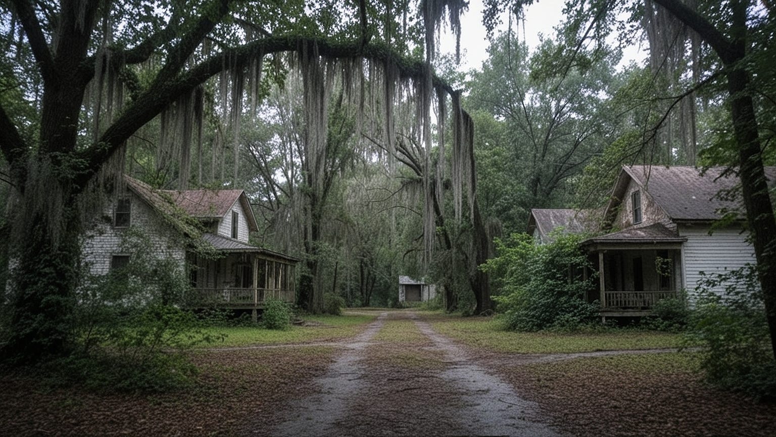
Louisiana heat doesn’t just warm you—it presses against your skin like a physical weight, a humid embrace that makes breathing laborious and thinking sluggish. In East Parkview, Monroe, this heat seems to have slowed time itself, trapping the neighborhood in a perpetual 1970s of faded paint, rusted vehicles, and economic stagnation that 2026 has done nothing to relieve. The 7.6% violent crime victimization rate here feels almost incidental, just one symptom of a broader social illness that has metastasized over generations.
I arrived in East Parkview during August, when Louisiana temperatures hover near triple digits and the air feels like soup. My air conditioning had failed thirty miles back, and by the time I reached the neighborhood’s boundaries, I was soaked in sweat and irritable and unprepared for the reality that waited. This was rural poverty transplanted into urban form, a shotgun marriage of Southern Gothic decay and concentrated desperation that produces a flavor of danger distinct from the industrial wastelands of the Midwest or the drug war zones of Baltimore.
The neighborhood’s architecture tells its history. Shotgun houses—narrow structures where rooms connect in straight lines, supposedly so named because you could fire a shotgun through the front door and out the back without hitting walls—line streets that haven’t been paved in decades. Kudzu vines, that invasive Southern plant that swallows entire buildings, drape over abandoned structures like green shrouds. Trees grow through collapsed roofs. Porches sag under the weight of generations. Everything here seems to be in the process of returning to nature, of being reclaimed by the swamp that underlies all of Louisiana.
My contact was a social worker named Desiree who had grown up in East Parkview and returned after college to “give back”—a decision she now describes as “complicated.” She drove me through the neighborhood in her battered pickup truck, pointing out landmarks that meant nothing to outsiders but everything to residents: the corner where her cousin was shot in 2019, the house where a mass shooting had killed four people in 2021, the church that still held services despite having no roof and only three remaining congregants.
The violence in East Parkview differs from the other neighborhoods on this list in its intimacy. This is a small place—barely 800 residents in a space that could fit comfortably within a few city blocks. Everyone knows everyone. Everyone is related to everyone. The violence that erupts here carries the weight of family history, of long-nursed grievances, of disputes that span generations and resolve through blood because the legal system is distant and distrusted and often actively hostile.
The 2026 Ouachita Parish Sheriff’s Office data reveals that 73% of violent crimes in East Parkview occur between people who share family connections. Domestic violence here isn’t a category—it’s the dominant form of violence, the way conflicts resolve when poverty eliminates other options. Cousins kill cousins over inheritances that amount to a few hundred dollars. Husbands kill wives over accusations that haven’t been proven and wouldn’t matter if they were. Children witness violence that they then replicate in their own adult relationships, perpetuating cycles that social services have given up trying to break.
Desiree’s own family exemplifies these patterns. Her father killed her uncle in a dispute over a borrowed lawnmower in 1994. He served fifteen years and returned to East Parkview, where he lives three blocks from the sister whose husband he murdered. They don’t speak. They don’t need to. The silence between them carries everything that words cannot express.
The neighborhood’s isolation amplifies its danger. East Parkview sits on Monroe’s eastern edge, separated from the city’s downtown by industrial zones and railroad tracks that function as moats. Police response times exceed forty minutes. Emergency medical services often refuse to enter after dark. The hospital that serves this area—St. Francis Medical Center—closed its trauma unit in 2023, meaning that serious injuries require transport to Shreveport, ninety miles away.
Driving through East Parkview demands attention to the physical environment as much as the human one. Streets flood during rainstorms, transforming into rivers that can trap vehicles. Fallen trees block routes without warning. The kudzu that swallows buildings also obscures sightlines, creating blind corners where ambushes can occur. The 7.6% violent victimization rate, combined with property crime exposure exceeding 36%, creates an environment where survival requires constant vigilance against threats both human and environmental.
Desiree dropped me at my car with a warning: “Don’t come back after dark. Don’t come back alone. And if you do come back, bring a gift—food, money, something. Otherwise you’re just taking, and people here don’t like takers.” I haven’t returned. The heat, the weight of history, the density of despair—these linger in memory like the humidity that clings to skin long after you’ve left Louisiana’s borders.
Oxanna, Anniston, Alabama
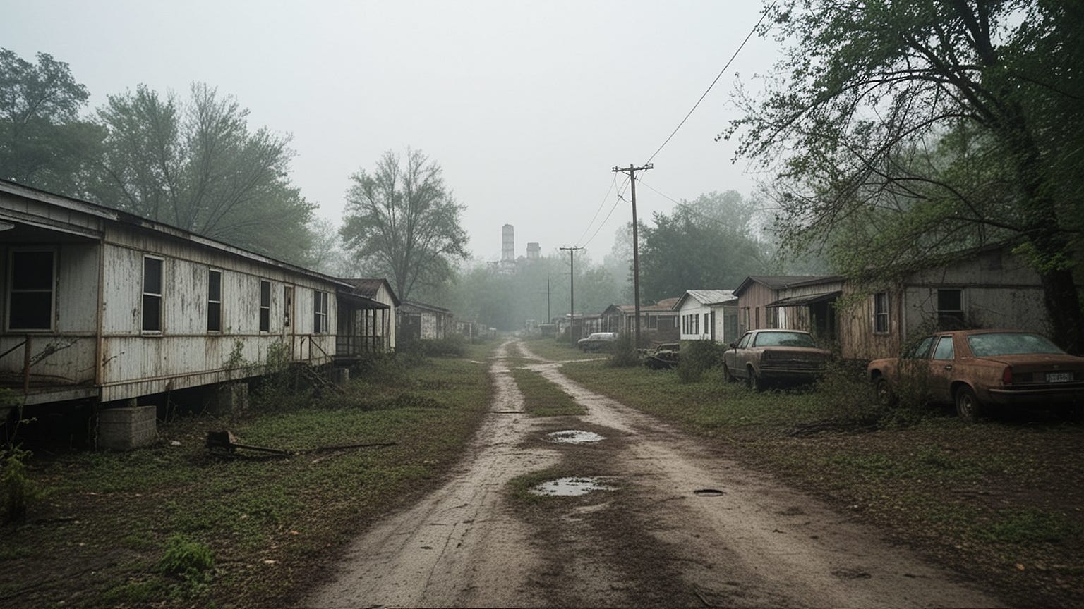
Alabama’s darkness runs deep. In Oxanna, a neighborhood on the eastern edge of Anniston, that darkness has pooled and stagnated over generations, creating conditions that 2026 data identifies as producing a 7.5% violent crime victimization rate—though, as with the other entries on this list, the official statistics capture only the visible portion of a much larger iceberg.
I came to Oxanna through research into environmental racism, tracking the legacy of the Monsanto chemical plant that operated just outside the neighborhood from 1935 to 1971, poisoning the soil and water with PCBs that the company knew were toxic and concealed from residents. The resulting health catastrophe—cancer rates, birth defects, neurological disorders that continue to afflict third and fourth generations—created a foundation of desperation upon which poverty and violence have built their structure.
The neighborhood’s physical environment reflects this toxic history. Trees that should be decades old are stunted, their leaves discolored. Gardens produce vegetables that residents know they shouldn’t eat but sometimes must. The creek that runs through Oxanna carries warning signs from the Environmental Protection Agency—signs that have been shot at, knocked over, ignored. Children play in the dirt because there’s nowhere else to play, absorbing through their skin the same chemicals that killed their grandparents.
My guide here was a community organizer named Elijah who had spent thirty years fighting for cleanup, for compensation, for acknowledgment that the neighborhood’s current conditions stem from deliberate corporate murder. He showed me the neighborhood’s landmarks: the church that has buried three generations of the same families, the community center that operates on donations because government funding never arrives, the empty lots where houses once stood before demolition claimed them.
The violence in Oxanna carries the weight of this history. When your environment has been poisoned by forces beyond your control, when your government has abandoned you to chemical genocide, when your body carries toxins that will shorten your life regardless of your choices—violence becomes a form of expression, a way to assert agency in circumstances that otherwise offer none. The 2026 Calhoun County Sheriff’s Office data shows that Oxanna has Alabama’s highest rate of violent crime committed by residents under the influence of substances—alcohol, methamphetamine, prescription opioids obtained through disability payments that represent the neighborhood’s primary income source.
Elijah described the neighborhood’s young men as “walking ghosts”—already poisoned by PCBs absorbed in utero, already sentenced to early deaths from cancer or heart disease, already stripped of the future that might have constrained their present actions. “They’ve got nothing to lose,” he explained, watching a group of teenagers pass by on bicycles that had been stripped of their original parts and rebuilt with scrap. “When you’ve got nothing to lose, you’ve got no reason not to take.”
The neighborhood’s poverty is absolute, not relative. Median household income hovers around $14,200 annually—below the federal poverty line for a family of four. Employment opportunities are virtually nonexistent; the few jobs available in Anniston’s remaining industries require transportation that residents lack and education that the neighborhood’s failed schools didn’t provide. Disability payments, Social Security, occasional odd jobs—these constitute the economy, supplemented by the underground trade in substances that offer temporary escape from permanent conditions.
Police presence in Oxanna is minimal and hostile. The Calhoun County Sheriff’s Department patrols the area sporadically, treating residents with the suspicion that poverty seems to automatically generate in law enforcement. When violence occurs, investigations are cursory. Cases go unsolved. Killers walk free. The community has learned not to expect justice from outside, to handle conflicts through informal mechanisms that sometimes resolve through violence because no other resolution seems possible.
Driving through Oxanna requires attention to the physical environment as much as the human one. Roads that haven’t been maintained in decades crater with potholes that can disable vehicles. Chemical contamination has weakened bridge supports, making certain routes hazardous. The neighborhood’s layout—winding rural roads that dead-end or loop back on themselves—makes navigation difficult and escape slow if confrontation occurs.
Elijah walked me to my car as darkness fell, the Alabama heat finally beginning to ease but not disappear. “People think poverty looks a certain way,” he said, not looking at me. “They think it’s urban, it’s Black, it’s far away from them. Oxanna proves it’s none of those things. It’s here. It’s white. It’s rural. And it’s killing us just the same.”
I left Oxanna with dust on my shoes and toxins in my lungs and a weight on my conscience that hasn’t lifted. The 7.5% violent victimization rate, combined with property crime exposure exceeding 34%, marks this neighborhood as dangerous by any metric. But the deeper danger—the environmental poisoning, the generational trauma, the slow-motion catastrophe that unfolds in bodies and minds over decades—defies statistical capture. It simply is. It has been. It will continue to be, long after the current residents have died and been buried in the poisoned ground they called home.
⚠️ WARNING: These 5 places in America could become chaos zones if society collapses.
Due to critical supply chain failures, experts have released a detailed breakdown of the highest-risk areas. You can watch the full video presentation here to see if your city is on the list.
Affiliate Disclosure: This post contains affiliate links. If you make a purchase through these links, I may earn a small commission at no additional cost to you. Thank you for your support!
Follow for more market & economic analysis:
📌 Pinterest — Charts, market insights & economic analysis.
📰 Flipboard — Follow my curated market & macro coverage.
The collapse has already happened it’s just not widely distributed yet.
They left us. They gutted our communities businesses cashed out and left.
Just to do it again to another tax feee land offer by crooked politicians.